Over 22 percent of Brazil’s 106 million addresses do not have street numbers, according to census data disclosed on Friday by the Brazilian Institute of Geography and Statistics. Furthermore, 2.7 million addresses are on unnamed streets.
The data showed that Brazil has 90.6 million private residences, 264,000 schools and other learning institutions, and 247,000 health facilities, among others. Also, at the time of the 2022 census, 3.5 million buildings were under construction or renovation, 605,000 of which in the state of São Paulo, Brazil’s wealthiest and most populous.
Eduardo Baptista, manager of the national registration of addresses at IBGE, said in a statement that “an address is also an indicator of citizenship. This means that the citizen who lives at an address without a number, or on a street or avenue without a name, is suffering some kind of deficit in his citizenship, due to the non-formalization of that address or street by the city’s officials.”
Last year, the agency released other data about inequality in the country, revealing how most young Brazilians aged 15 to 29 who neither work nor study (NEETs) were among the country’s poorest.
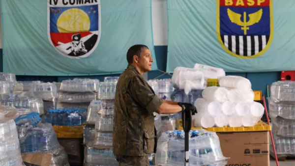
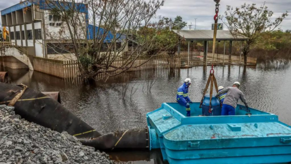
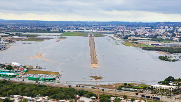
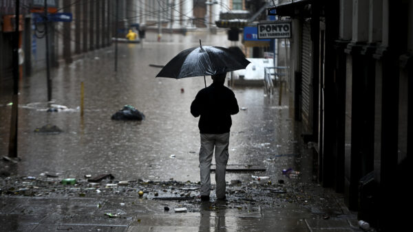
The georeferenced address data compiled by IBGE census takers has been used by officials to inform policy. Last month, the agency disclosed data early in order to help authorities in the southern state of Rio Grande do Sul assess the damage caused by severe floods. Data applied over a satellite photo of the city of Lajeado, for example, showed that at a given moment the flooded addresses included 4,600 private homes, 82 buildings under construction, and 15 schools.
A geospatial map produced by the IBGE in 2023 showed a significant portion of the northeastern city of Maceió covered in red dots, indicating points where no one lives anymore, a reflection of the Braskem salt mining disaster, the largest urban environmental tragedy in Brazil’s history.
“With accurate information about the location of homes and businesses, federal, state and city governments can carry out more efficient planning of public infrastructure, identifying regions with greater demand for transportation, schools, hospitals, garbage collection, water and electricity supply and even facilitating the delivery of mail,” IBGE says.
 Search