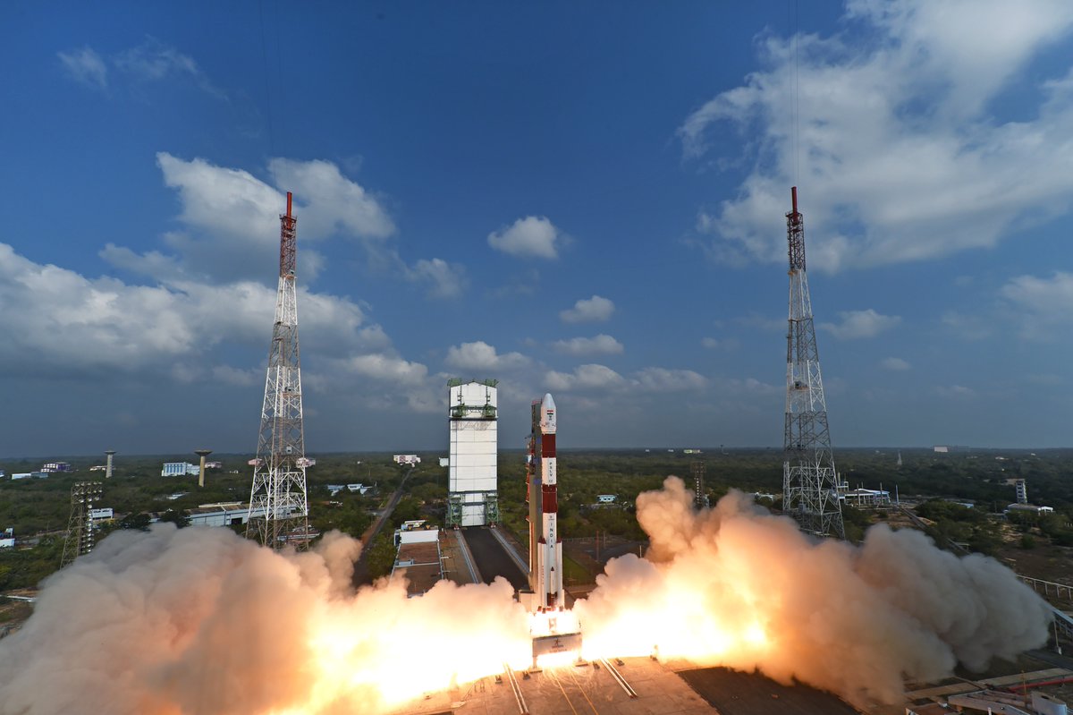
After some initial hiccups, the first satellite entirely developed and built in Brazil took its first aerial images of Earth on Wednesday, after its launch on February 28. Named Amazônia-1, the satellite set off on its maiden voyage from the Satish Dhawan Space Center in eastern India, entering orbit precisely 17 minutes after launch.
Putting Amazônia-1 into space was the result of 13 years’ work and BRL 380 million (USD 67 million) in investment by the National Institute of Space Research (Inpe). The launch itself was paid for separately, coming in at USD 26 million.
Amazônia-1’s main objective is to capture daily images for environmental monitoring. The satellite is part of the so-called Amazonia Mission, created to supply remote sensing for monitoring the deforestation of Brazil’s biomes, above all the Amazon rainforest.
With a lifespan of four years, Amazônia-1 is the third such satellite to carry out this work for Brazil, but the first to be developed and built in the country. The Chinese-made CBERS-4 and CBERS-4A are currently in operation and provide images of Brazil every three to four days.
... Search