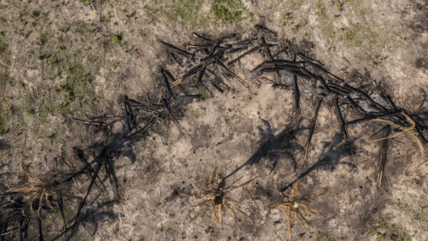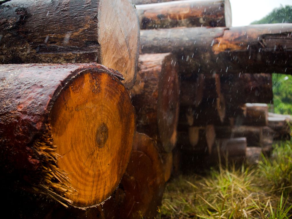
Brazil’s National Institute of Space Research (Inpe) has recorded a total deforestation area of 209 square kilometers in the Amazon so far this month, the highest total for February since the Deter real-time deforestation satellites began collecting data in 2015.
The 209 square kilometers figure is in relation to the first three weeks of February, and data from the remainder of the month will be released next Friday. In February 2022, Deter satellites detected 199 square kilometers of deforestation in the biome — some 5 percent less than this year’s figures.
This increase comes after a jaw-dropping 61 percent fall in deforestation figures for January 2023, and experts believe the two figures are connected.
Deter monitors the Amazon by satellite and provides daily alerts of changes in forest cover for areas larger than 3 hectares.
Daniel Silva, conservation specialist from WWF-Brazil, told news website G1 that the magnitude of January’s decrease was likely due to increased cloud cover throughout the month, which can interfere with Deter’s satellite readings.
At the same time, the yearly increase in deforested area in February may be linked, as satellites picked up January deforestation days or weeks after it occurred.
 Search